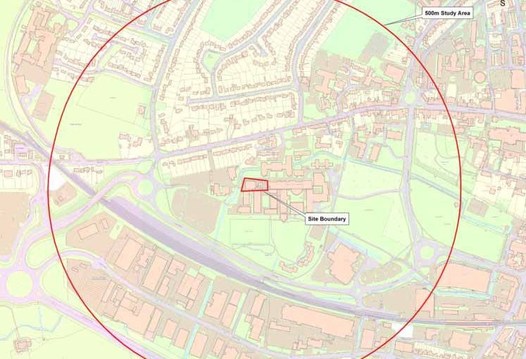
This brief article introduces a monthly series of four on the archaeology of Westgate. The data has been adapted, with their permission, from the findings of an archaeological desk-based assessment prepared within a 500 metre radius of Chichester College by SLR Consulting Ltd in 2013. Hence the funny box on the maps.
The available evidence for historic activity and occupation within and around Westgate has shown that there has been demonstrable activity on the site from the Late Bronze Age/Early Iron Age onwards. In particular, investigations at 6 St Bartholomew’s Close located Bronze Age ditches with artefactual remains immediately to the north of the River Lavant as it passes behind Woodlands Halls.
Whilst there is excavated evidence for Roman occupation beyond the western limit of the 2nd and 4th century defences, from the available sources it seems likely that the cemetery uncovered at the Theological College in the 1980s denotes the western limit of the Roman settlement. Investigations carried out at sites further along Westgate have failed to locate in situ deposits of comparable date, with the exception of an isolated find spot to the south of the railway and the known Roman roads emanating from the city’s western gate.
There is a possibility that roadside deposits do survive along the Westgate street frontage, but the nature and/or survival of such features has not been demonstrated to date.
In the post-Roman period the majority of activity occurred within the defended core of the city; and there is little evidence in Westgate for early medieval occupation.
It seems probable that in the Saxon period the site would have been situated on land set aside for agricultural use, as it was in the later medieval and post-medieval periods. The only recorded find is a single coin from the grounds of St Bartholomew’s Church. As churches were often a focus for markets there is a possibility that this represents a market site. The small medieval suburb and parish of St Bartholomew’s developed around the city’s western gate and extended a short distance along Westgate.
The exact scale of the original suburb is unknown as it was destroyed in the Civil War siege of 1642, but the presence of the river and spring in the area would have represented a focus for settlement. Evidence from excavation has shown that boundary ditches to divide plots of land (fields or properties) were being maintained along Westgate between the 10th and 16th centuries as far to the west as the Tannery. The plots would have been situated to the south of Westgate and the River Lavant. The presence of pits containing domestic refuse in similar locations may be an indication that housing extended further along Westgate than the extent of the later post-medieval settlement would suggest.
Maps from the 18th century onwards show extensive open fields under pasture to the south of Westgate in the location of the college campus. There are a number of small structures indicated from 1769 and in the 19th century, one of which (a barn) was located during evaluation in 2012. The barn appeared to have been at least partially constructed using medieval stone masonry from the demolished St Bartholomew’s (St Sepulchre’s) Church, as fragments of a segmented arch were found in association with its footing.
The 1846 Tithe map indicates a hovel adjacent to the river immediately west of the college. However it appears that any activity associated with this building was confined to a small plot which did not extend eastwards. Development and expansion of the college at the site in the later 20th century is likely to have caused areas of localised truncation of buried deposits, including to former plough soils and any buried cut features or surfaces. The survival of footings and boundary ditches suggests that there is potential for some further areas of survival on that site.