We are grateful to John Davies at no. 31 for the following article on the heritage part our streetscape, using earlier research done by the late Dr Latchman which has been passed on to him.
The”shape” of Westgate from the old gate through to Parklands Road
When faced with a simple continuing list of properties and people, which change over the 10 year period between census records, it is important to fix certain physical features or properties which will be there from year to year. Fortunately this is possible in Westgate as follows:
South side:
- up to the road or track leading south (Church Lane/Mount Lane)
- the gap between the Shippam block and Tannery Row
North side:
- Start with the large house for Henty Brewery and finish with the pub (Waggon and Lamb), with an intermediate fix of the baker at current no. 40
- To the pub at current Crate & Apple – previously The Swan.
Research principles
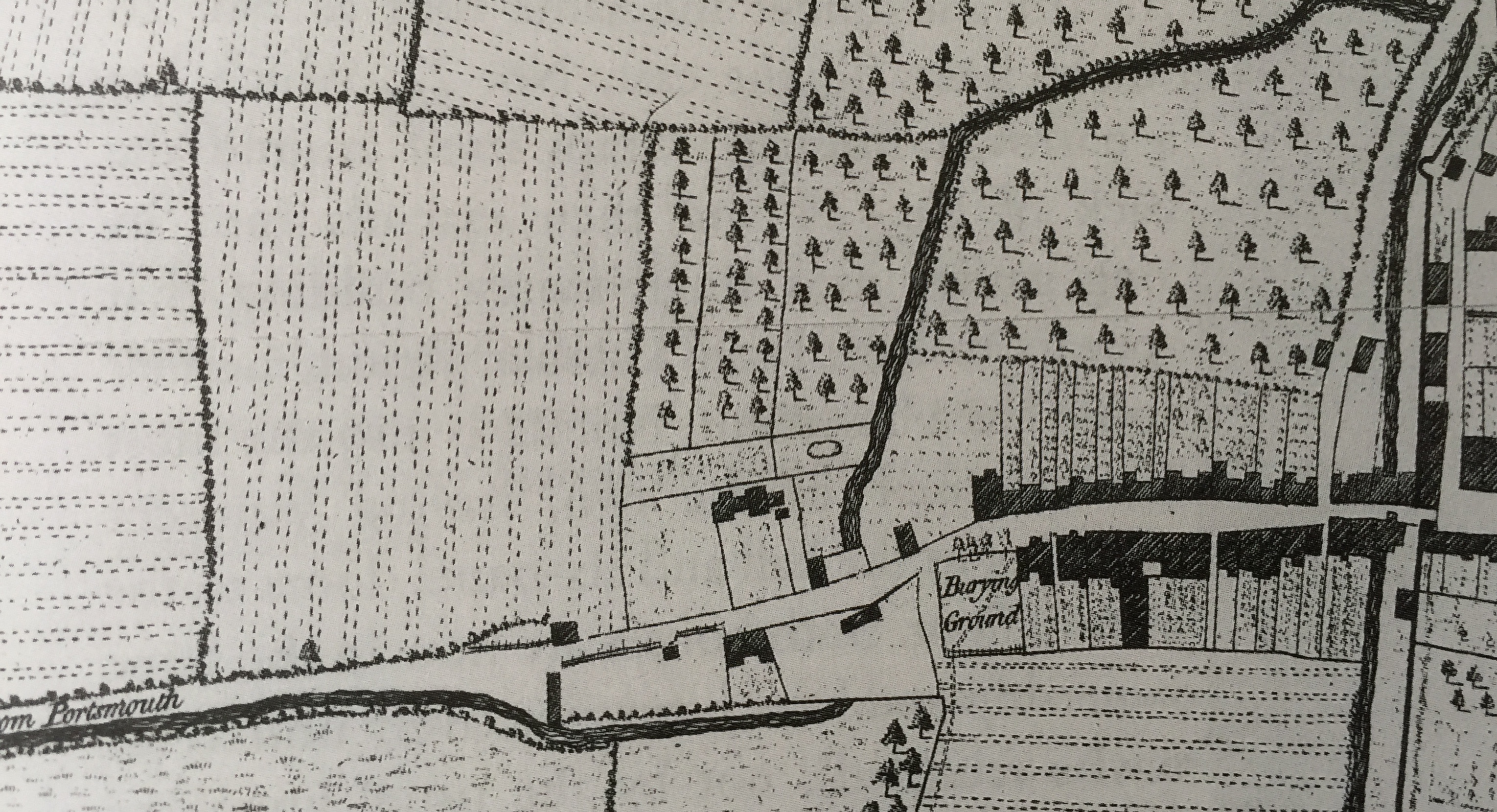
I have related the information in Dr Latchman’s files to a series of maps which run from the 1846 Tithe map to an 1932 OS map and I hope to join it up with the census records in due course. In the later part of this period, the houses were numbered but with a system which was changed in 1950 (see separate article).
The major change between the census records and the present layout – and indeed between the re-numbering exercise in 1950 – was the construction of the Westgate roundabout in around 1965. This resulted in the demolition of several houses included in the censuses, viz.
- Westgate – south side: one house and the White Horse pub between the so-called Old Cottage, in fact once the outhouses of the pub and now the Indian restaurant; to the corner of the Major Tyacke/Theological College complex
- Westgate – north side: all houses (probably 4 – 5) to the east of Orchard Street
- Orchard Street and North Walls: probably about a dozen houses.
The shape of each section
South (starting at the East end and moving West):
 1-25 Westgate – the Church end: from the original east start of the road (former no.1) through to the St Bartholomew graveyard
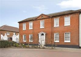
This rather large block of houses has had a complex development. It starts at the East end at the site of the old gate with three buildings numbered 1, 3 and 5 on the re-numbered plan of 1963. Then comes the large bulk that was the Theological College from 1920 to 1980. Previously this had been the residence of Nicholas Tyacke, who was a very grand man in Chi history.
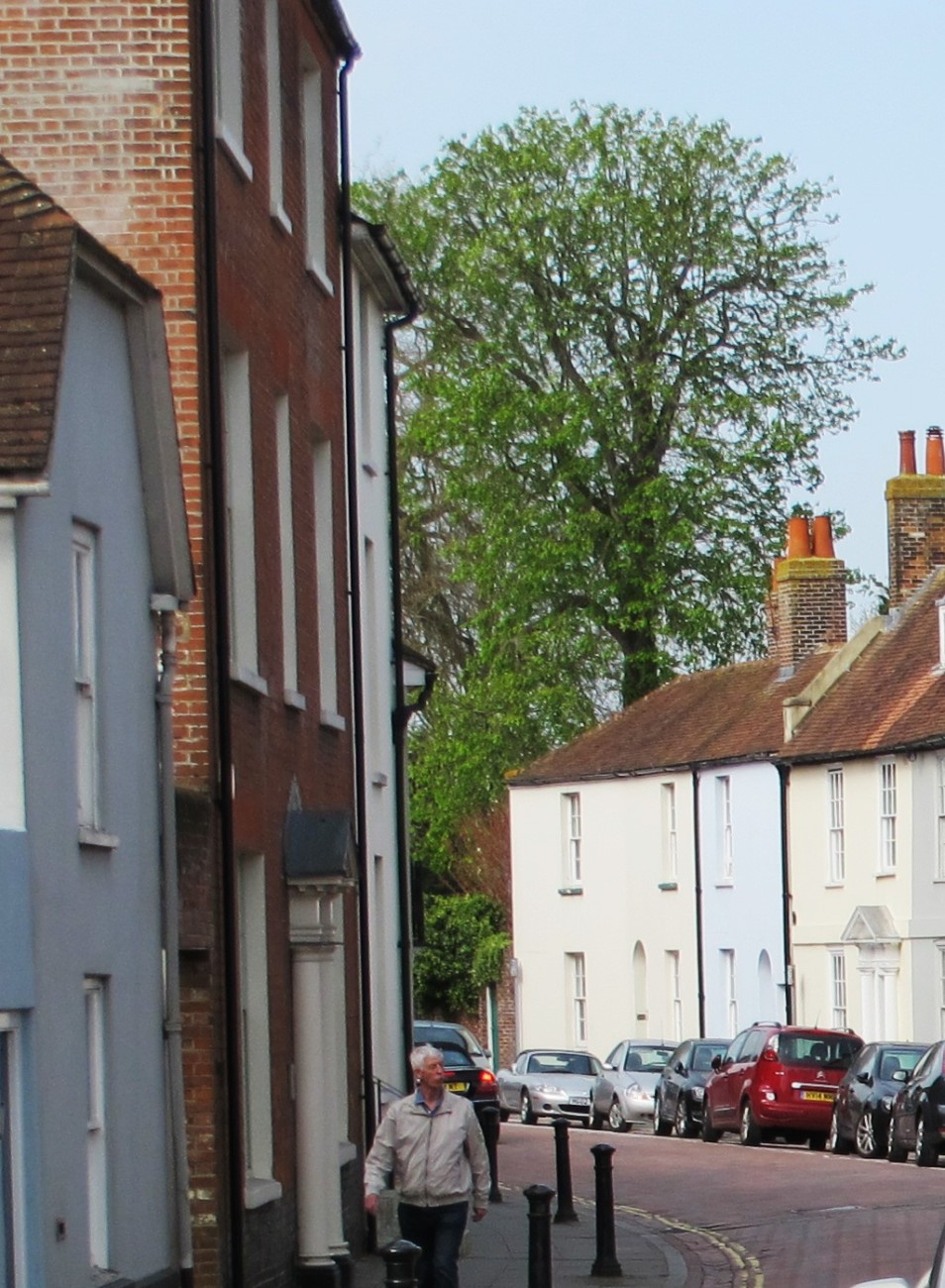
Individual houses are shown on the south starting with no.13 and then the substantial no 15, formerly the Surgery and the Frithery before that. Here there is the complication of the cottage located behind no. 11 and reached through a passage-way between nos. 11 and 15. A more usual sequence then has the thin house at no. 17, then two fine houses at nos. 19 and no. 21 – the latter usually called Montreal (or maybe Montreuil) House. The final part of the terrace is now a combined building, nos. 23-25. For much of the period recorded these were indeed two separate dwellings.  Finally we can include here St Bartholomew’s Church, built around 1830, with an historic graveyard adjacent.

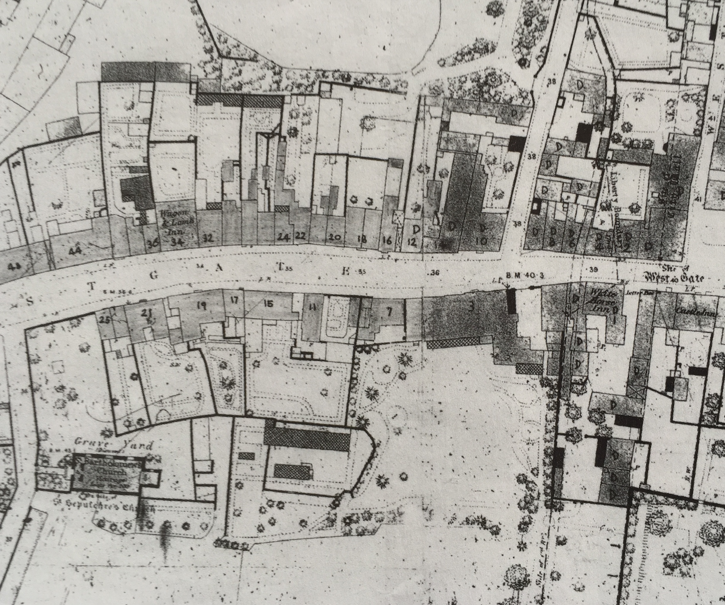
27-39 Westgate – the Shippam block: current nos. 27 to 39 i.e. from Mount Lane (earlier Church Lane) up to the current entrance to St Barts Close
Apparently a simple straightforward terrace of 7 individual houses (27 -39). However the tithe map of 1846 shows a much more complicated picture, which changed in stages over the next 50 years. The large Shippams house, no. 27, originally had a complex of habitations and warehouses adjacent to and behind it. There was also a building to the east of the present no 27 which was demolished in about 1880 (with a view to making a new through road from Westgate to the railway station). Nos. 29 to 35 were originally warehouses and only converted to habitation around 1860. No. 29 was for many years used as architects’ offices and so for many years may not have had a resident for census purposes. Nos. 37 and 39 appear to have been distinct and by 1875 were not part of the Shippam estate. There is then the entrance to St Bartholomew’s Close, mostly built around 2000 (although no.1 is older).
43-65 Westgate – Tannery Row: current nos. 43 through to the large Tannery Master’s house at no. 65
Another apparently straightforward terrace with a complex history. The gap which now forms the entrance to St Bartholomew’s Close, once contained a house (no. 41) – at least till 1990. The gap led to a space which was a working garage (also numbered 41) until about 1990 and would probably have been used for work purposes for many years before that. In 1846 a large piggery was located here – doubtless for Mr Shippam’s business. The central part of the Tannery terrace of 9 houses has remained the same for about 150 years. However the first two houses to the East were distinct. The final house in this section was another substantial property (no. 65) where the owner of the tanning business lived. Between this house and “tanner row”, a variety of houses seem to have been built and altered over the years which can be sort of identified by the census returns. The tithe map shows another surprising aspect: behind the last 4 to 5 houses were 4 to 5 more habitations (hovels really) which featured in the 1841 and 1851 censuses.
Crossing over to the North side and moving back eastwards:
52-34 Westgate – The Brewery: existing no. 52 (formerly Henty brewery complex) through to current no 34, formerly the Waggon and Lamb public house
The major property on the north side was of course Henty’s brewery, located where Mercer’s is today. The big house (no. 52) was home to the head of the family/company. There was also a small house to the west used by his butler/coachman about 1860. There was then a gap where the entrance to Henty Gardens and the solicitors (no. 50) are now. In the 1950s this was the Fire Station.
Nos. 48 and 46 were warehouses until about 1860, and shown as houses from 1861 onwards. The key houses were then no. 44 (always substantial), no 40 (a bakers and later the shop) and no 34 the “Waggon and Lamb”, a pub of ill-repute. Various small changes occurred in housing and numbering in between.
32-12 Westgate – Trade: from East of Waggon and Lamb (no. 32) past no. 12, The Swan public house, across Orchard Street to the five houses (nos. 10 – 2) which were demolished to construct the existing roundabout
Trade is the most difficult to get a handle on. Luckily Dr Latchman did a separate paper on Nos. 24 to 28. Note no 28 is an infill done about 1880 so will not appear on earlier censuses.
The big house – currently Richmond House but previously Yorke House I think – deserves a further study but I have little information on it and its history. The current 16 and 14 have complex layouts and doubtless histories. 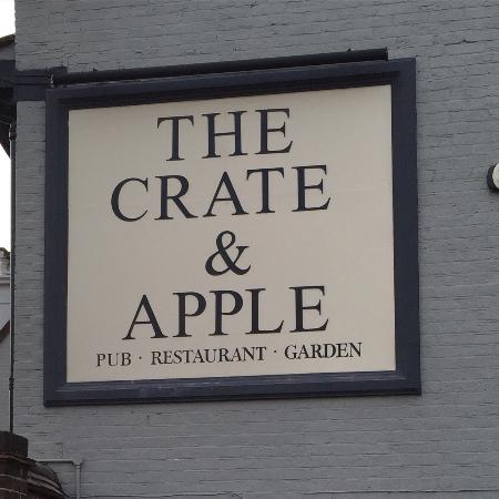
The pub currently on the corner and called The Crate and Apple was for about 200 years called The Swan. The remaining houses in the sequence are recorded variously in the censuses and were demolished when the Avenue de Chartres and the roundabout were constructed.
If you have information on Westgate and would like to publish it here for residents to see, then please contact us.