This text is about the suburb of St Bartholomew’s Without in the wider context of the development of the City of Chichester. It is drawn from an edited extract of a 1935 publication (details below). As such it has kept a centuries-old way of talking about Chichester where the city walls, gates, ditch and parishes defined our boundaries, untrammelled by the modern changes that not much more than five years later would come finally to disrupt the millennial harmonies of our cityscape.
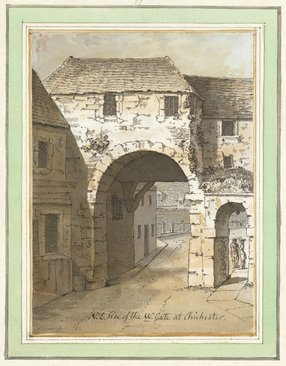
Disputed image of The West Gate looking down West Street from outside the walls, 1782. Interesting to see that the famous West St pinch point was already in place. Drawing by S.H.Grimm (c) British LibraryThe walls and gates of the city as they now [written in 1935] appear, although Roman in origin, show little or no Roman work. The Roman core has been refaced time after time and there is no reason to suppose that the line of the wall has been changed since the Romano-British period.
The duty of keeping the wall in repair was recognised in the 12th century, for when the dean desired to open a way from his garden to his land and orchards between the wall and the River Lavant, he had to obtain a licence from the king to make a postern gate. This gate, which can be dated between 1178–1180, is clearly recognisable in the Deanery garden.
Except for the upkeep of the castle, little is heard of the defence of the city until 1261, when the men of the King of the Romans had a grant of murage (a tax levied for building or repairing the walls of a town) for five years from the king.
Questions constantly arose in the 13th century as to the maintenance and ownership of the city ditch. The house of Emeline de Merstone was said to be divided into two messuages (a dwelling house with outbuildings and land assigned to its use), one of which had been built almost in the ditch (quasi de fossato). She was therefore said to owe one penny to the king, as well as 18d [old pence] to the lights of the altar of the Blessed Virgin Mary.
There was evidently much dispute as to the relation of these houses to the king and to the earl. It appears that there was indeed a ditch (fossatum) around the part of the city where the castle had been situated, but there was no ditch round the portion where the property of the church lay, save the stream of the Lavant.
In 1339 the king appointed the Earl of Arundel, Thomas de Braiose and Master William de Fishbourne to survey the walls and put the city in a state of defence at the expense of the mayor, bailiffs and citizens. The bishop (Robert Stratford) and the dean and chapter, in view of the poverty of the city and the heavy expense, agreed to share in the work, the king consenting that such share should not form a precedent. In 1341, £27 of the fee-farm was remitted, on account of the great charges of enclosing the city. In 1369 another commission to repair the walls was issued, and the mayor and the dean were to co-operate in seeing that the grant of murage for ten years was applied only for these repairs. All merchants “who stay there continually and live of their merchandise”, even if they held no tenement, were to contribute.
In 1377 authority was given to the mayor and bailiffs to complete the city ditch newly begun, 50ft broad, with its walls, turrets, and gates, and to remove houses and buildings adjacent to the wall or where the ditch ought to be constructed, compensating the owners; the mayor had authority to compel all religious persons as well as secular to contribute. In 1385 the mayor had power to demolish all buildings and trees within 100ft of the walls, and even the suburbs, when it was necessary for greater safety; he could apparently impress labour for this purpose anywhere within the rape of Chichester, and punish the disobedient.
The last grant of murage is said to have been in 1443, when the wall from the East Gate to the South Gate was substantially repaired. The walls and ramparts were again repaired in 1724 and the walks on the north and east walls levelled by William Beauclerk MP. The elm trees along these walls had been planted in 1701.
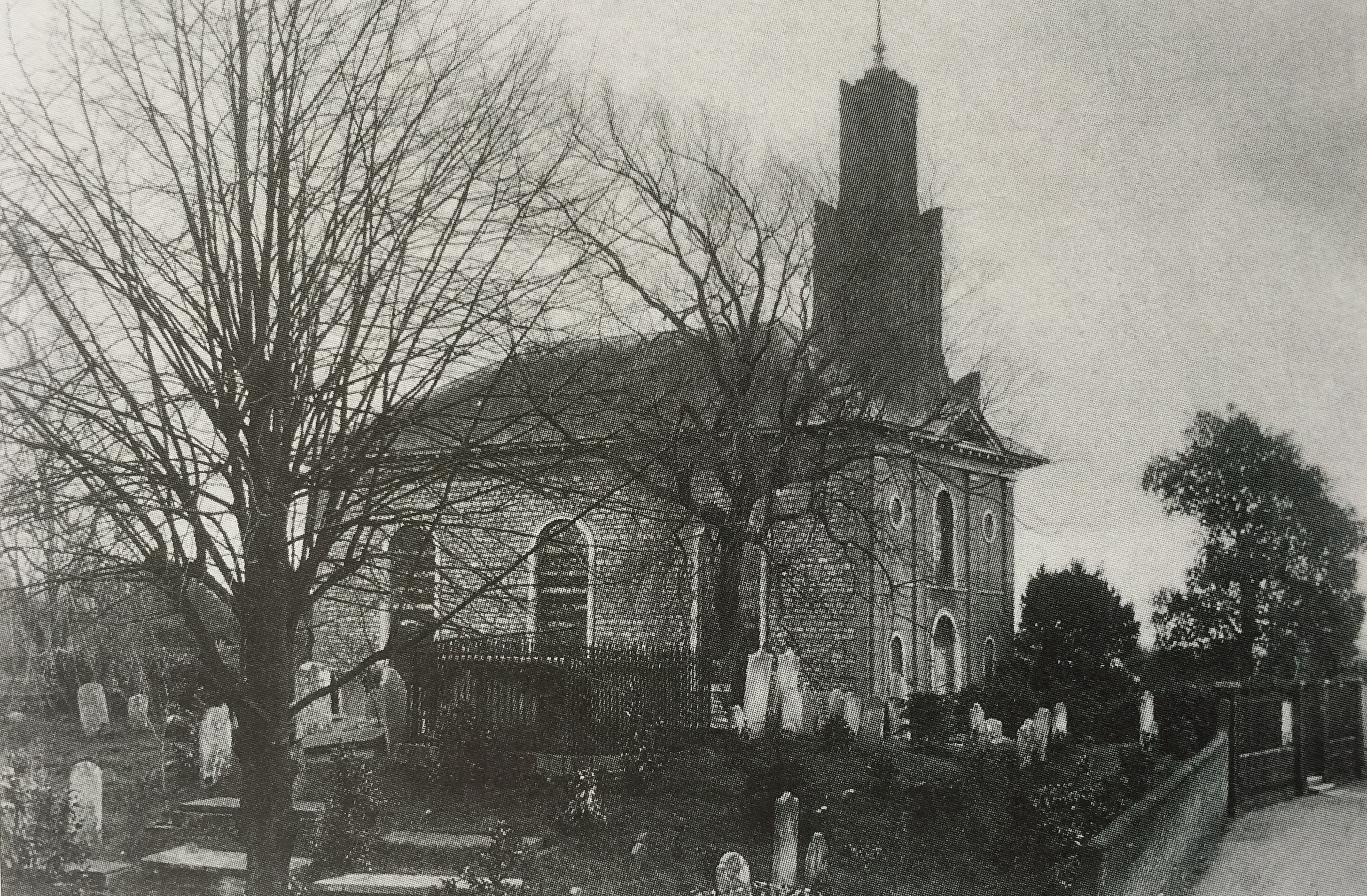
We know little of the medieval gates, except that the North, West and South Gates were taken down in 1772–3, but the East Gate stood until 1783, as it supported the city gaol, which was then rebuilt on the south side of it. There is a reference in 1374 to the chapel of Our Lady upon the North Gate which is supposed to have been in the upper story of the gateway.
Sources:
Main body of text – GB Historical GIS / University of Portsmouth, Chichester St Bartholomew CP/AP through time | Census tables with data for the Parish-level Unit, A Vision of Britain through Time. URL: http://www.visionofbritain.org.uk/unit/10287480
Victoria County History Publication A History of the County of Sussex: Volume 3 Author L.F. Salzman (editor) Year published 1935 Pages 71-82. URL: http://www.british-history.ac.uk/report.aspx?compid=41659