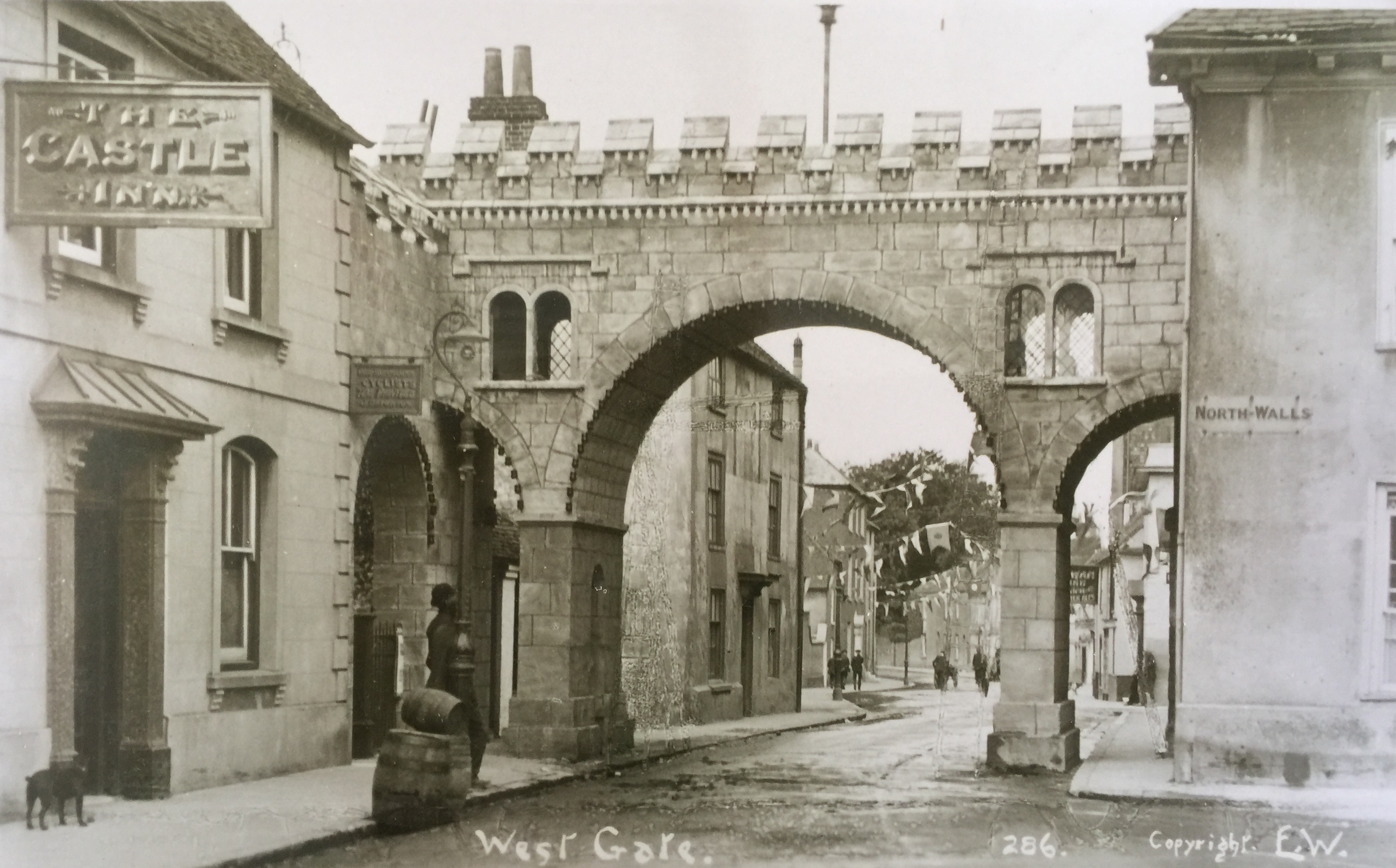
Ceremonial Arch at the West Gate 1911, looking down Westgate from West St. No pictures exist of the original gate.
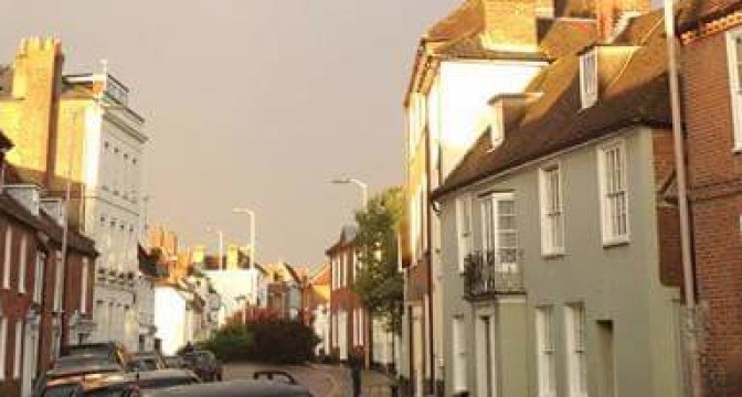
Westgate is so named as it is the road that left Chichester by the West Gate, an encumbrance to traffic which was demolished in 1773 except for the south pillar which is still standing, complete with hinge, to the left of the Indian Restaurant.
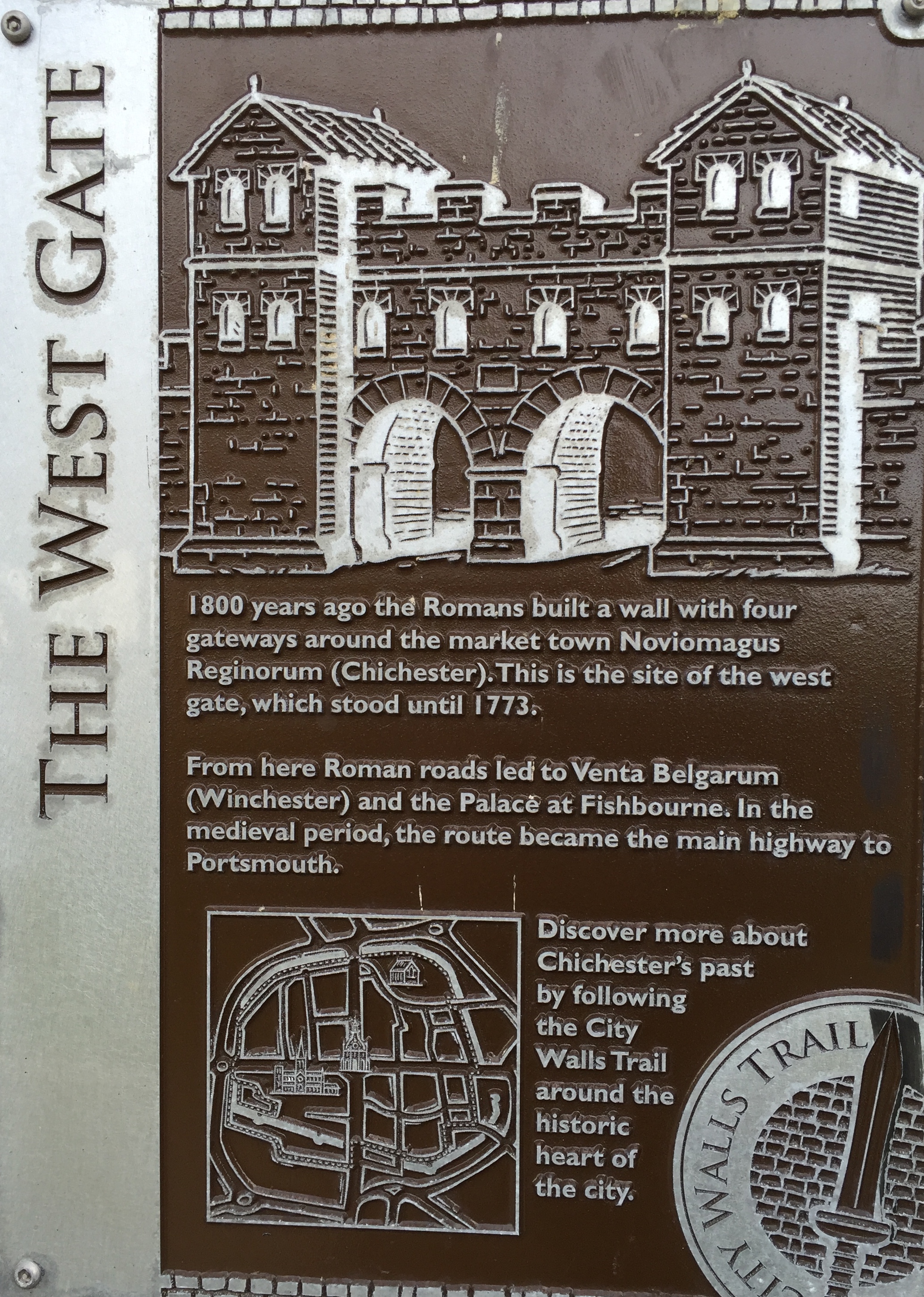
CDC Plaque, City Walls Walk by the West Gate site. There is no evidence that the gate looked like this.
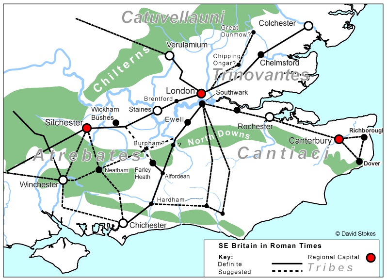
This road has been the main road out to Winchester from Chichester (Noviomagus Regnorum) since Roman times, when they no doubt built a road to their garrison camp and landing stage at Fishbourne in the late 40s AD, and subsequently on to a magnificent palace for Cogidubnus, the British vassal king. That road was eventually extended to the Roman’s important port facility at Bitterne (Clausentum) with a branch off northwards to Winchester (Venta Bulgarum).
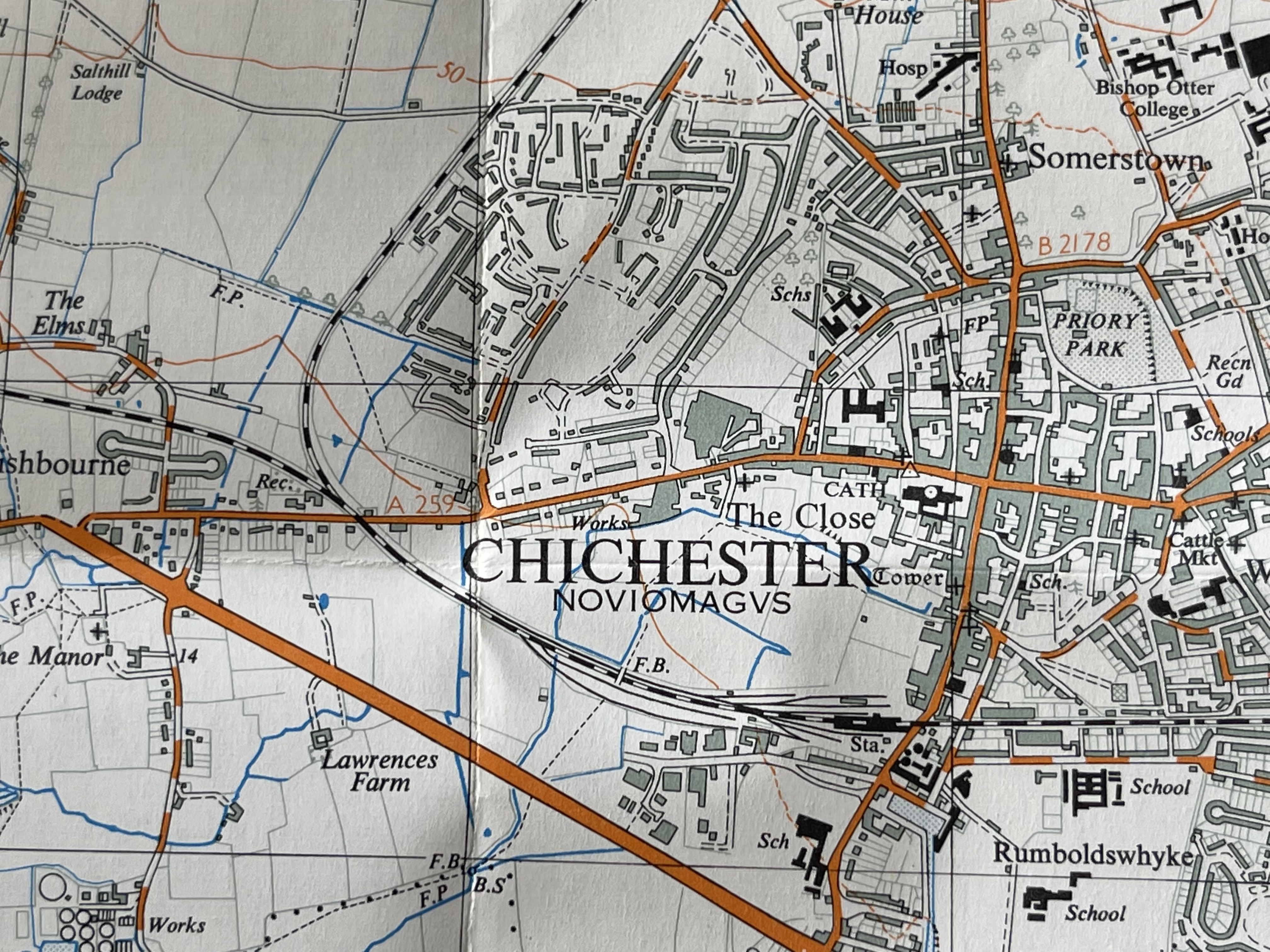
Westgate is the dotted line that leaves Chichester on the left, towards Winchester (recently proved to have continued to Bitterne beyond the bend in the elbow). Stane St can be seen clearly leaving the City for London to the North East (see end of article). Missing on this map also is any evidence of the coastal road via Arundel. Extensive Lidar work in 2017 by Historic England has now revealed details of this route for the first time.
From the medieval period this was the main highway to Portsmouth. The exact route of the Roman road westwards has never been found and modern Westgate does not perhaps follow the Roman line at all.
The 19th Century
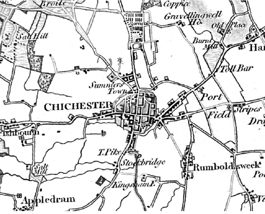
At some point a kink developed in the road, most visible in this first early 19th century OS map and where they say a mill was built. The site is situated round about the tollhouse on the Fishbourne Road.
For the road had become the Chichester to Cobham Toll Road in 1762, with a tollgate installed at the entrance to Fishbourne village (the house still stands) whose writ ran until November 1867. Our stretch would probably been known as St Bartholomew’s.
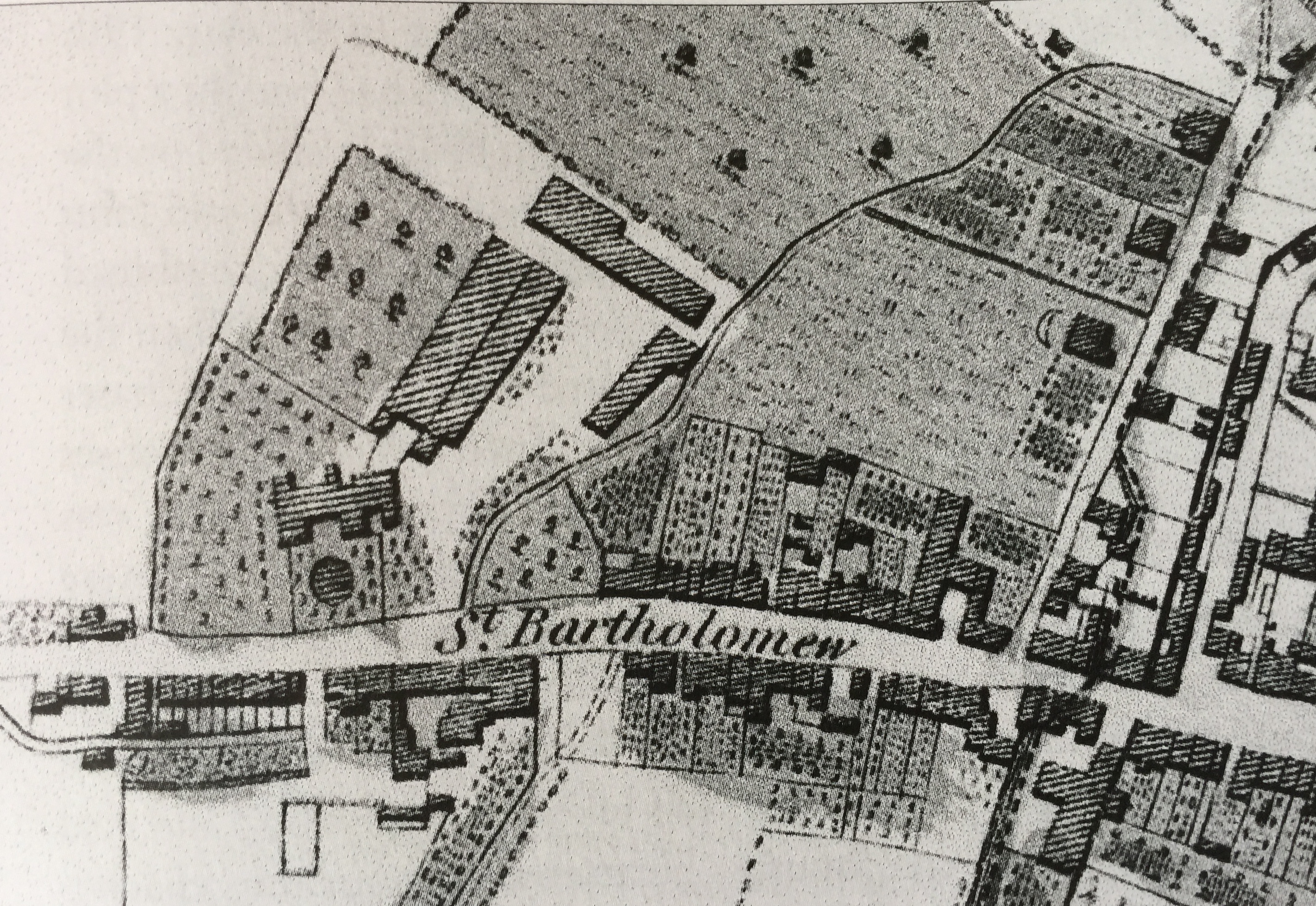
An extract from Loader’s 1812 town plan showing the easterly end of Westgate.
It had several pubs and inns along its length including the Waggon and Lamb at what is now no 34, which served as a house of ill-repute for the Portsmouth garrison – they say.
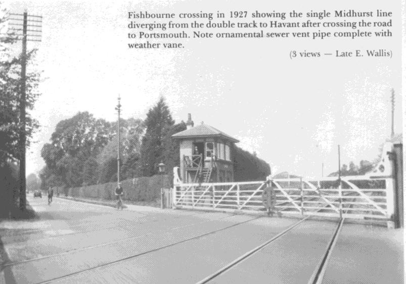
In 1846 the Portsmouth branch of the railway arrived to join up with the Brighton link at Chichester. The kink in the road at no 80 was straightened out and the route severed by a level crossing.
The 20th Century
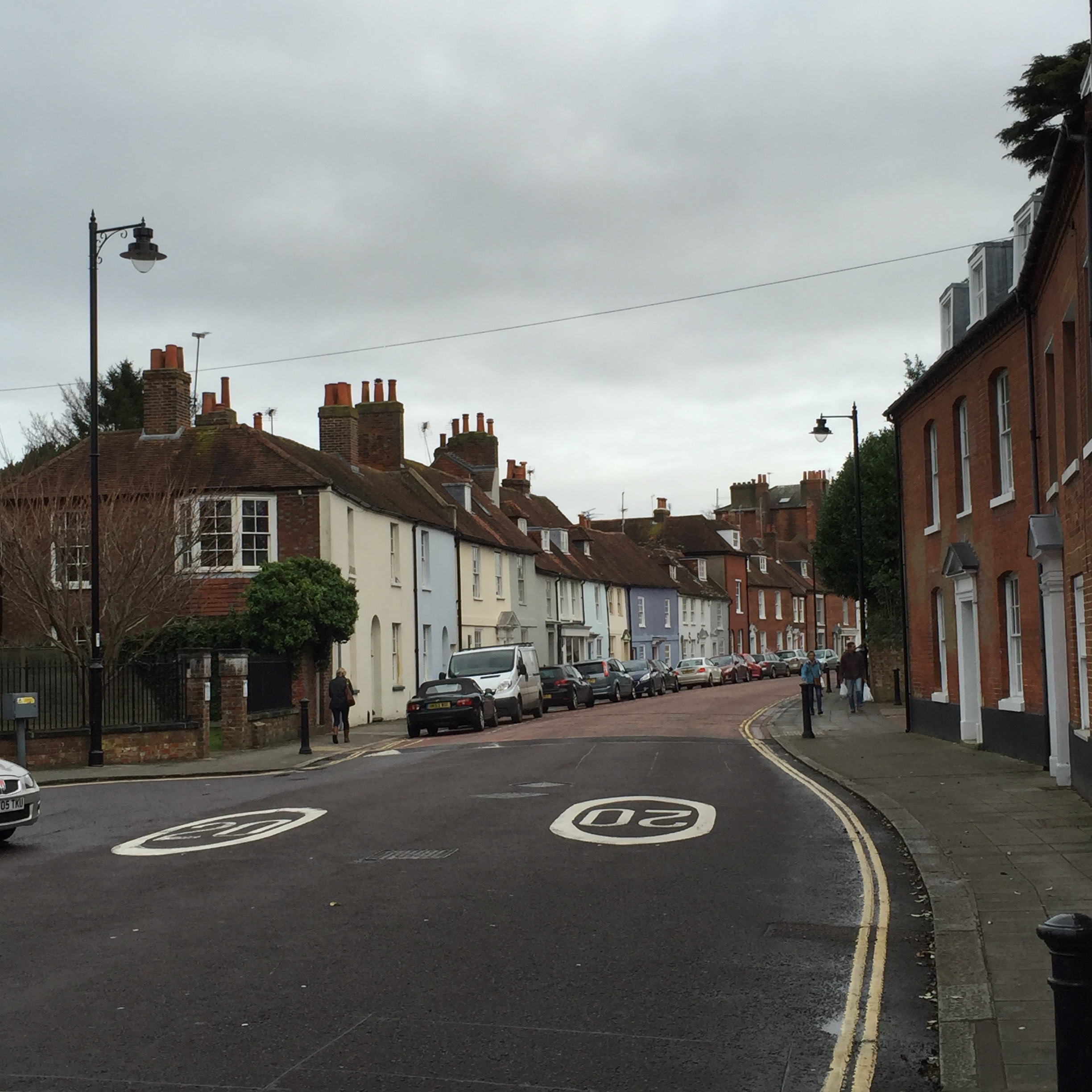
Later the street became the A27 before the Chichester bypass was built, as a single lane in the 1920s and dualled up in 1989.
Here is Westgate on the 1958 OS map, now the A259
1960s developments
The Famous Westgate pinch point looking towards Westgate 1961 – Collection Ken Green
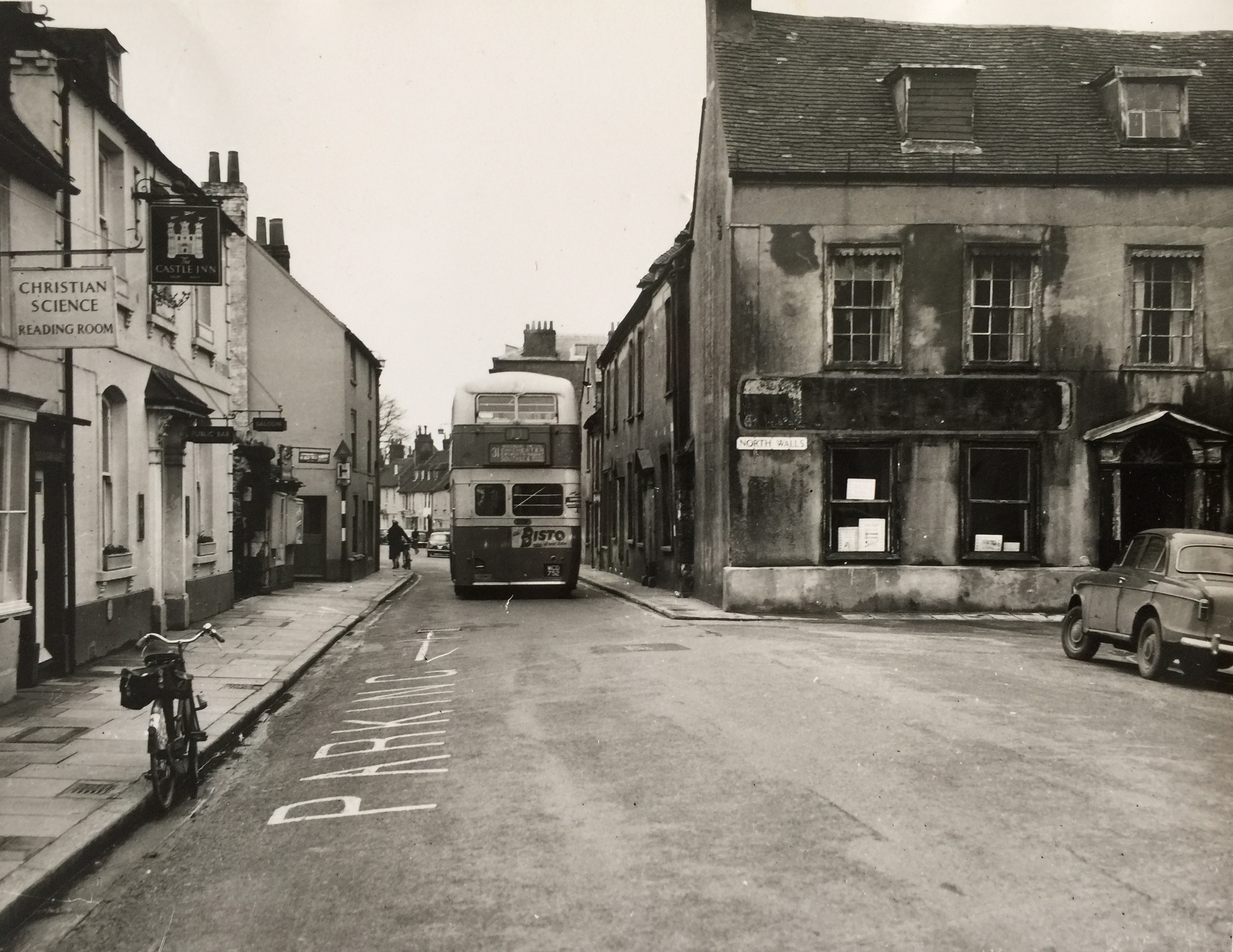
Following demolition of the famous North Walls pinchpoint opposite the Castle Inn (now the Chichester Inn) in the early 60s, the ring road was built, with a large gyratory roundabout planned which would actually have stranded the top end of the street inside it.
Westgate pinch point looking along Westgate, demolished 1960s – Collection Ken Green
Fortunately this did not get approved but nos 2-10 on the north side of Westgate were demolished, seen here up to no 12, the Swan Inn (current Crate & Apple pub), which is set back from the road line and is now the first property on the modern road. You can just about make out the Westgate street sign on no 2, the first house in the row nearest to the camera.
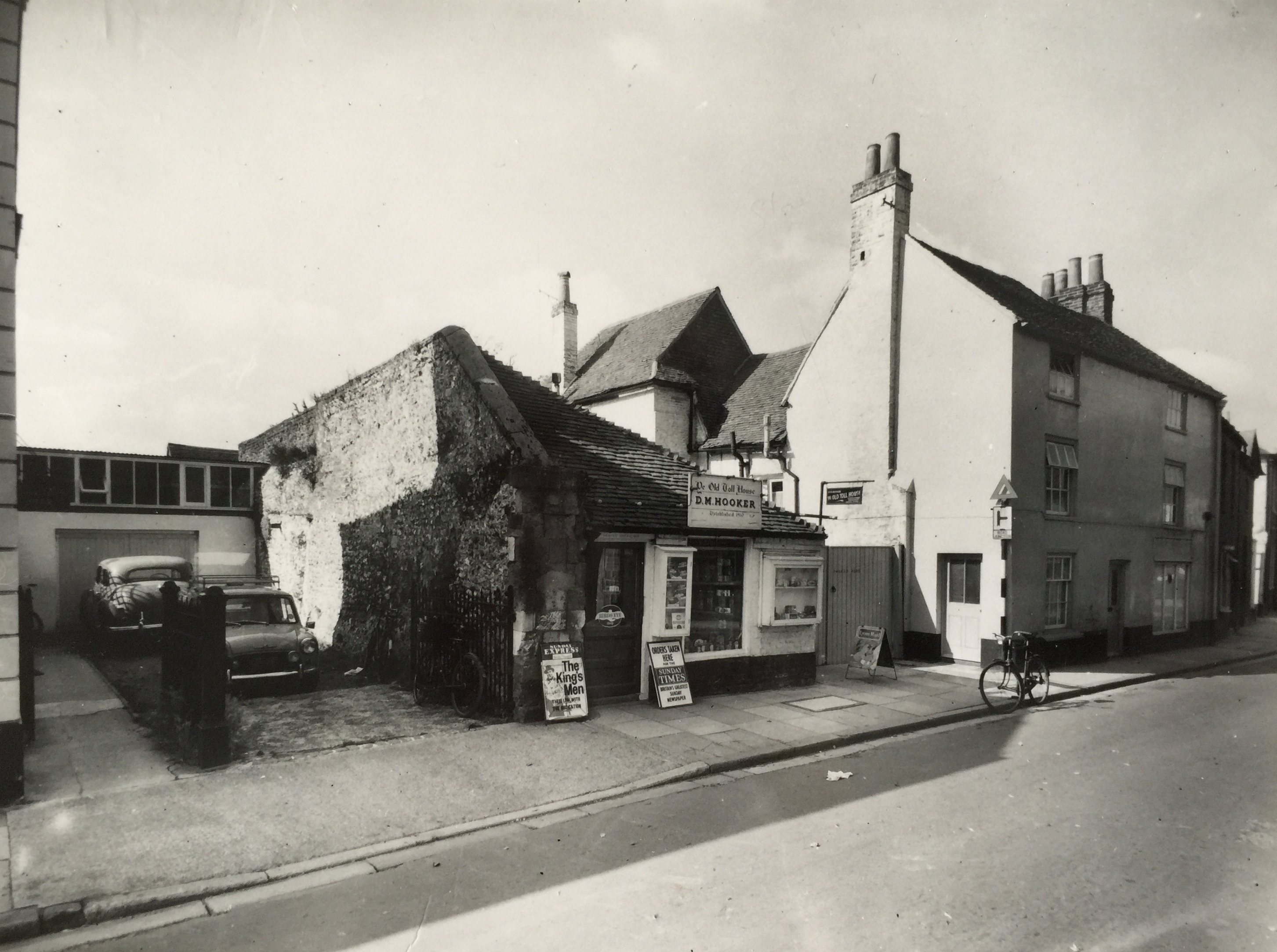
Hooker’s Shop looking along Westgate August 1963 – Collection Ken Green
The White Horse pub outside the gate to the south side, seen here beyond Hookers shop (its outhouses) was also demolished and is where the Avenue de Chartres now runs. In this photo you can see the city wall with the last pillar of the West Gate; today’s Indian restaurant is all that is left of their outhouses. Via Ravenna was built at the south end of Ave de Chartres as the Westgate by-pass to ease traffic flow on our street.
In the 1980s Tesco was planning a large out of town store and, following the then Residents Association campaign, installed the traffic calming planters and sleeping policemen your Association is now caring for. The 1989 bypass improvements severed Westgate once more, this time from the Fishbourne Road but the Tesco traffic calming remained.
Zoom this shot to see the sweet shop front on the left and beyond the grey blue house which was the Waggon & Lamb pub.
The sweet shop at no 40 closed some time in that period too, killed off when the College opened its own tuck shop and so we lost our local store.
For the record
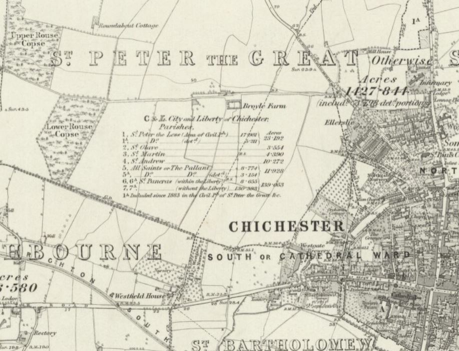
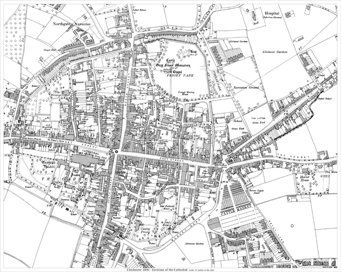
For the record, the really main road of Chichester left the city from Roman times onward at the other end of town by the East Gate, and went pretty well straight to London Bridge. It is clearly shown on this map of 1896 and is generally known as Stane Street. As seen here, it starts beyond the East Gate at St Pancras and the Westhampnett Road and then the A29 follow its course in many parts. There are seven sections still in use.
By Colin Hicks
Site Admin - Westgate Residents' Association Chichester

This is all extremely interesting, particularly the pics, some of which are not in the published documents about Chichester. Thank you Colin.