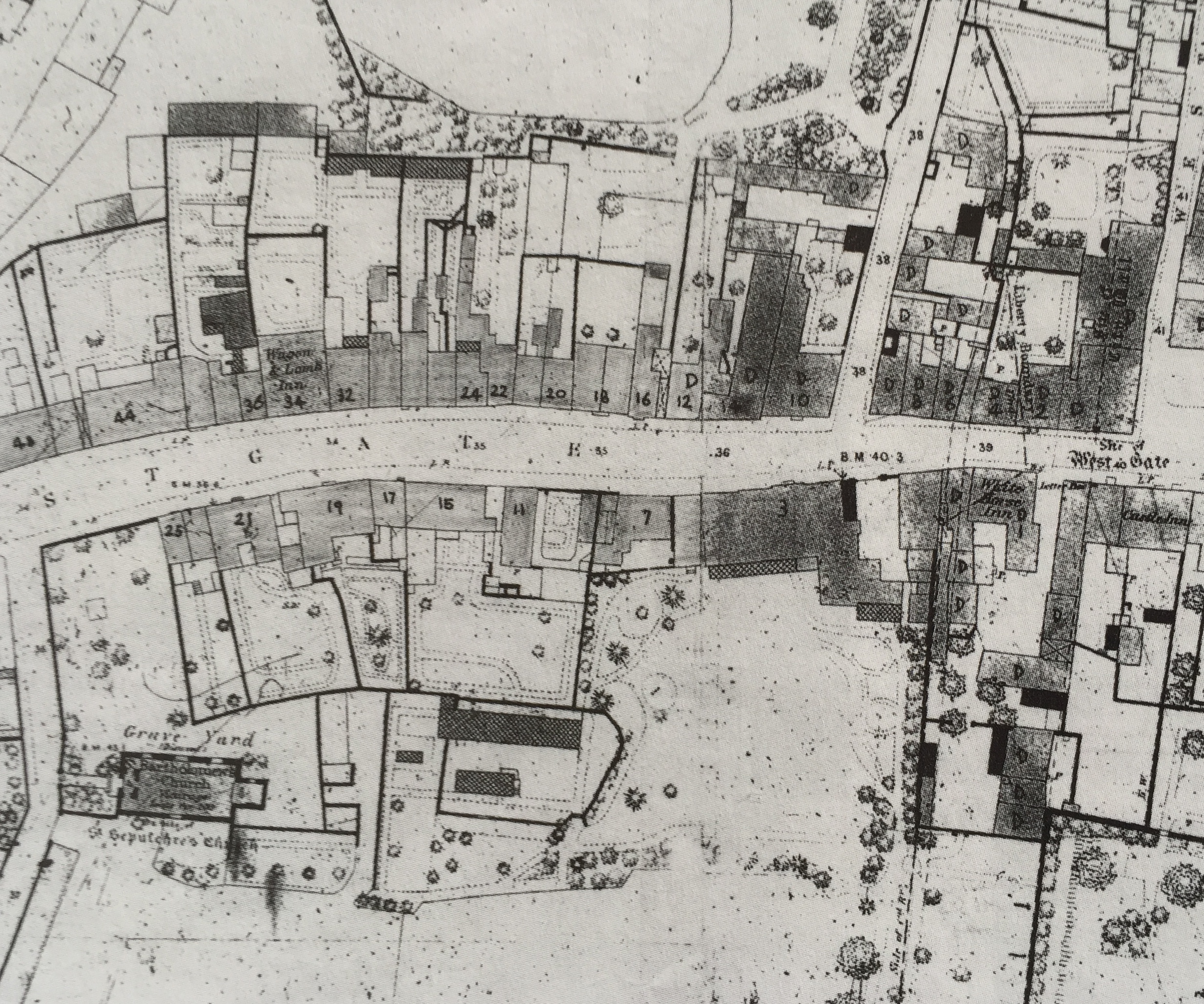
The houses marked ‘D’ have since been demolished. Note the culvert containing the River Lavant that runs under the White Horse Inn to Orchard Street.
WGRA: incorporating all single exit side streets
THE WESTGATE RESIDENTS' ASSOCIATION CHICHESTER
The houses marked ‘D’ have since been demolished. Note the culvert containing the River Lavant that runs under the White Horse Inn to Orchard Street.