This post was the first in a weekly series of five “what-if?” suggestions proposed in parallel over the festive season 2015-16, that seek to provoke your thoughts about solutions to the traffic impacts of the development on Westgate, but which may also never see the day.
The Vectos traffic model is too limited to be useful
Local people have not been adequately consulted about the traffic implications of the Whitehouse Farm development in a way that can be understood. One can safely assert that the developers in particular have shied away from a full public consultation because such a meeting would not be geared up to meet their own needs.
- Their original Masterplanning workshop was limited to a few selected people and concentrated on on-site layouts.
- The presentation/consultation in April 2015 in the Vicar’s Hall had very little off-site highway and transport details, “work in hand” being their response at that point to off-site transport questions.
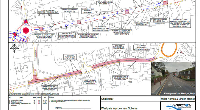
- The traffic-calming walkabout and the subsequent traffic calming workshop in July 2015 were just tick-box exercises. None of the options were adequate and none catered for a safe cycle route to the City Centre, required by WSCC to provide a sustainable transport facility from WHF.
- Tables taken from the developer’s traffic assessment give existing and predicted traffic flows in and around Parklands and Northgate and these include flows on all sides of the mini roundabout at the bottom of Sherborne Road. There are many issues over these predictions that still require pursuing with the developers and WSCC.
The Strategic Transport Model
The strategic Chichester transport model was only used for the Local Plan Examination in Public. This was to assess the combined additional traffic impact of the four proposed strategic development sites (SDLs) and to identify possible capacity improvements that would mitigate against this combined additional impact.
This strategic model was stated at the time not to be accurate enough for predicting existing and future traffic flows on local roads such as in and around Parklands. A local more detailed “sub-area” model should be produced for assessing the impact on local roads but this has not happened.
The existing transport model is not suitable for assessing the traffic implications: it simply is not detailed enough. It is a strategic model and not suitable for any sort of local detailed investigation. Only a more detailed sub-area model would do this and this is not going to happen. So, the only way this scenario can be assessed at present is by logic and the recognition that there will be winners and losers.
As far as the accesses from WHF in the model were concerned this is more complicated. In theory there were three possible accesses being considered, But, in the model the WHF development generated traffic was vaguely connected to the existing road network, somewhere along Sherborne Road. This is not uncommon for a strategic model assessment but it re-emphasised the point that this strategic model would not accurately predict the impact on many local roads.
Traffic calming
As far as the two existing potential rat-runs are concerned (Sherborne Road and Parklands Road), the future attractiveness of these to through traffic will mainly be influenced by the effectiveness of any new traffic calming introduced. The three traffic calming options presented by the developers for Sherborne Road in July 2015 were totally ineffective. They needed to be significantly more severe in restraining and in dissuading through traffic: long paved platforms and the odd single build out are a waste of space; significant double build-out chicanes would be needed to force traffic to slow down or stop to give way to approaching traffic.
Manual traffic assessment for the planning application
For the current planning application and in the absence of this more detailed sub-area transport model, the developer has carried out a manual assessment of the traffic generated from WHF, the routes this traffic will take and the impact this will have on the local road network. This is a quite common approach but it has one major flaw.
A transport model takes into account existing and future congestion and delays at busy junctions such as St Paul’s Road/Northgate. As a result of this congestion it re-assigns (re-routes) some traffic to alternative routes, such as Sherborne Road, Parklands Road, Salt Hill Road, Hunters Race or Brandy Hole Lane; depending on where the traffic destination is. This reflects likely driver behavior when faced with delays.
A manual traffic assessment does not do this as well. It measures existing turning movements at existing road junctions and assumes the same proportional traffic turning movements for the future scenarios being considered (e.g. WHF). It does not take into account changes in driver behaviour or route choice as a result of:
- further congestion on the network (e.g. St Paul’s Road/Northgate junction);
- changes to junction capacity as a result of junction improvements (e.g. the Sherborne Road/St Paul’s Road;junction or the Sherborne Road/Westgate junction)
- heavily traffic calmed roads such as could be provided for Sherborne Road and Westgate.